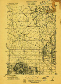
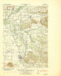
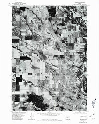
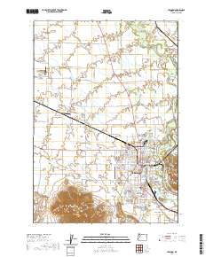
1911 Map of Lebanon
USGS Topo · Published 1911About this map
Peterson Butte dominates the southern landscape, rising sharply above the fertile plains where the Southern Pacific R R (Lebanon Branch) and the Southern Pacific R R (Lebanon and Crabtree Cut-off) intersect. The town of Lebanon is the primary hub, showing a structured street grid and local infrastructure like the Dam and the distinctive Lebanon Chimney.
Find a feature on this map
25 named features on this map. Tap any name to fly to it.
Don’t see what you’re looking for? This feature index may not catch every label — zoom into the map to look around manually.
Map Details
Editions of this 1911 Lebanon Map
This is the sole edition of this map. No revisions or reprints were ever made.
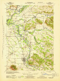
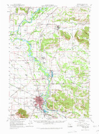
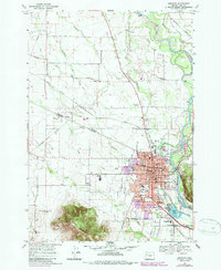
Historical Maps of Lebanon Through Time
14 maps found
1911 Lebanon
Linn County, OR
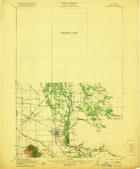
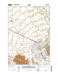
1921 Lebanon
Linn County, OR
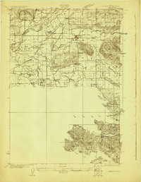
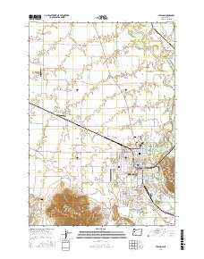
1922 Lebanon
Linn County, OR
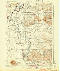
1924 Lebanon
Linn County, OR
1940 Lebanon
Linn County, OR
1944 Lebanon
Linn County, OR
1957 Lebanon
Linn County, OR
1969 Lebanon
Linn County, OR
1976 Lebanon
Linn County, OR
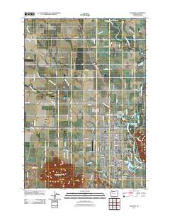
2011 Lebanon
Linn County, OR
2014 Lebanon
Linn County, OR
2017 Lebanon
Linn County, OR
2020 Lebanon
Linn County, OR
2024 Lebanon
Linn County, OR