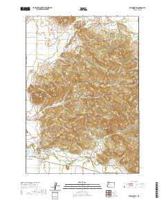
1911 Map of Brownsville
USGS Topo · Published 1911About this map
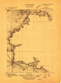
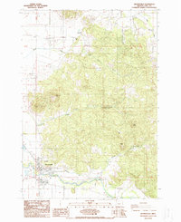
The Calapooia River winds through the southern portion of this landscape, providing a vital water source for the settlement of Brownsville. This 1911 survey shows the town at a moment of transition, with the Southern Pacific (Springfield Br) railroad line cutting a north-south path through the valley, connecting local agriculture to wider markets. The surrounding terrain is marked by distinct rises like Lone Pine, while the rural social fabric is evidenced by foundational institutions such as Rock Hill School and Warren School. A large Cemetery east of the town center suggests the established nature of this Linn County community. The dense contour lines along the western and eastern edges of the valley highlight the sharp topographic boundaries that defined the limits of early 20th-century development and farming in this part of the Willamette Valley.
Find a feature on this map
7 named features on this map. Tap any name to fly to it.
Don’t see what you’re looking for? This feature index may not catch every label — zoom into the map to look around manually.
Map Details
Editions of this 1911 Brownsville Map
This is the sole edition of this map. No revisions or reprints were ever made.
Historical Maps of Brownsville Through Time
10 maps found
1911 Brownsville
Linn County, OR
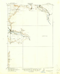
1921 Brownsville
Linn County, OR
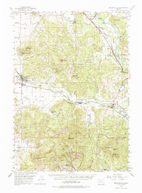
1950 Brownsville
Linn County, OR
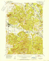
1952 Brownsville
Linn County, OR
1988 Brownsville
Linn County, OR
2011 Brownsville
Linn County, OR
2014 Brownsville
Linn County, OR
2017 Brownsville
Linn County, OR
2020 Brownsville
Linn County, OR
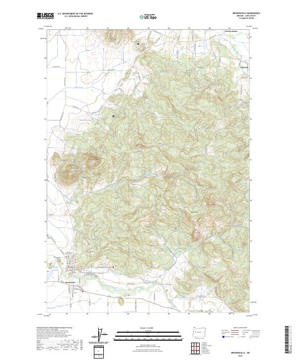
2023 Brownsville
Linn County, OR