
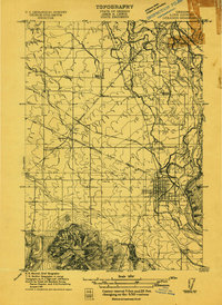
1911 Map of Tangent
USGS Topo · Published 1911About this map
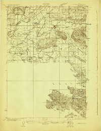
The Southern Pacific Railroad dominates the landscape of Linn County in this 1911 survey, branching through the valley at Albany Junction and Tangent. The area’s agricultural development is reflected in a dense network of country schools and small settlements that served as rail sidings. Education was clearly a community priority, as evidenced by the distribution of the Grand Prairie School, Price School, McFarland School, and Midway School.
Find a feature on this map
20 named features on this map. Tap any name to fly to it.
Don’t see what you’re looking for? This feature index may not catch every label — zoom into the map to look around manually.
Map Details
Editions of this 1911 Tangent Map
This is the sole edition of this map. No revisions or reprints were ever made.
Other maps of this area
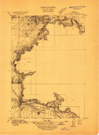
1911 · Brownsville
USGS Topo · 1:31,680
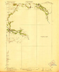
1911 · Lebanon
USGS Topo · 1:31,680

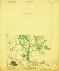
1912 · Jefferson
USGS Topo · 1:31,680

1912 · Halsey
USGS Topo · 1:62,500

1913 · Oakville
USGS Topo · 1:31,680

1913 · Wells
USGS Topo · 1:31,680

1916 · Albany
USGS Topo · 1:62,500
1921 · Brownsville
USGS Topo · 1:62,500
1921 · Lebanon
USGS Topo · 1:62,500
1922 · Lebanon
USGS Topo · 1:48,000