
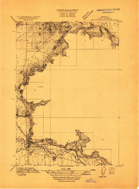
1909 Map of Rowland
USGS Topo · Published 1909About this map
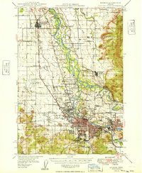
The settlement of Rowland and its surrounding Willamette Valley landscape are documented here as they appeared following the 1909 survey by the U.S. Geological Survey and the State of Oregon. This rural Linn County landscape is defined by its early educational and transportation infrastructure, featuring several local schoolhouses including Girt School, Cherry Center School, Pike School, and Harris School. The Southern Pacific Railroad cuts a straight path through the western half of the map, providing a vital commercial link for the agricultural community. Distinctive volcanic landforms like Franklin Butte and Bond Butte rise sharply from the valley floor, breaking the drainage patterns of Spoon River, Little Muddy Creek, and Tub Run. This survey offers a precise look at property and section lines before the further modernization of the region's road networks.
Find a feature on this map
16 named features on this map. Tap any name to fly to it.
Don’t see what you’re looking for? This feature index may not catch every label — zoom into the map to look around manually.
Map Details
Editions of this 1909 Rowland Map
This is the sole edition of this map. No revisions or reprints were ever made.
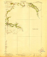
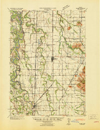
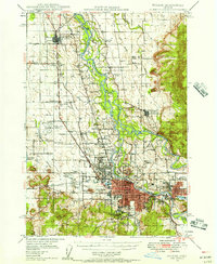
Other maps of this area

1909 · Harrisburg
USGS Topo · 1:31,680

1910 · Eugene
USGS Topo · 1:62,500
1911 · Brownsville
USGS Topo · 1:31,680

1912 · Halsey
USGS Topo · 1:62,500
1921 · Brownsville
USGS Topo · 1:62,500

1940 · Eugene
USGS Topo · 1:62,500
1941 · Halsey
USGS Topo · 1:62,500
1946 · Eugene
USGS Topo · 1:62,500
1949 · Eugene
USGS Topo · 1:62,500
1950 · Marcola
USGS Topo · 1:62,500