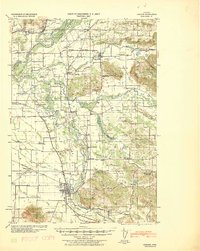
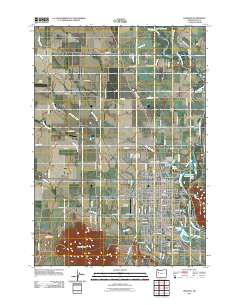
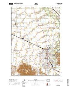
1922 Map of Lebanon
USGS Topo · Published 1922About this map
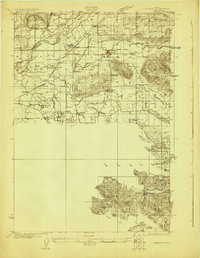
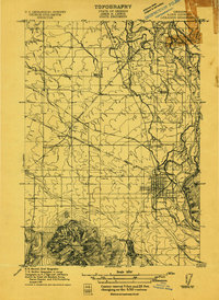
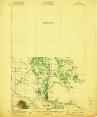
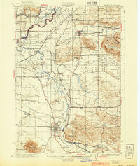
The North Branch Santiam River and South Santiam River define the fertile bottomlands of Linn County on this 1922 advance sheet. Agriculture and early industry drive the settlement patterns, as seen in the concentration of family-named schools such as Munkers School and Arnold School and the infrastructure of the Lumber Flume near Peters. The railroad is a central feature, with the Southern Pacific (Woodburn-Springfield Branch) connecting communities like Shelburn, West Scio, and Crabtree. This survey provides a look at the landscape before modern development, detailing water management via the Sidney Ditch and Jefferson Ditch. Local history is captured through specific landmarks like Ballins Mill and several burial grounds, including Miller Cemetery and Franklin Butte Cemetery.
Find a feature on this map
57 named features on this map. Tap any name to fly to it.
Don’t see what you’re looking for? This feature index may not catch every label — zoom into the map to look around manually.
Map Details
Editions of this 1922 Lebanon Map
This is the sole edition of this map. No revisions or reprints were ever made.
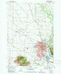
Historical Maps of Lebanon Through Time
14 maps found
1911 Lebanon
Linn County, OR
1921 Lebanon
Linn County, OR
1922 Lebanon
Linn County, OR
1924 Lebanon
Linn County, OR
1940 Lebanon
Linn County, OR
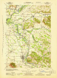
1944 Lebanon
Linn County, OR
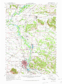
1957 Lebanon
Linn County, OR
1969 Lebanon
Linn County, OR
1976 Lebanon
Linn County, OR
2011 Lebanon
Linn County, OR
2014 Lebanon
Linn County, OR
2017 Lebanon
Linn County, OR
2020 Lebanon
Linn County, OR
2024 Lebanon
Linn County, OR