
1911 Map of Monroe
USGS Topo · Published 1911About this map
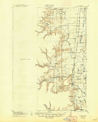
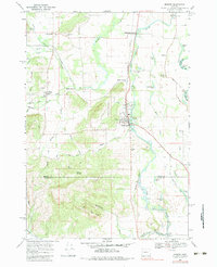
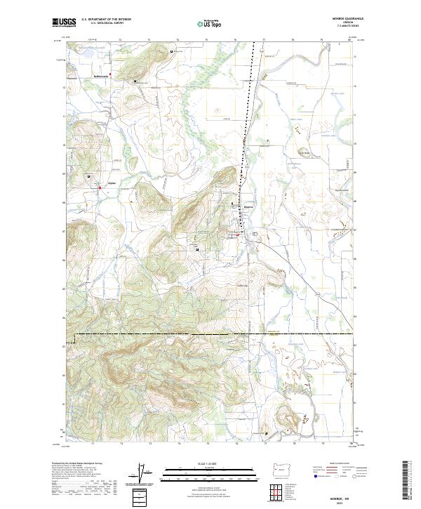
Bellfountain and Alpine sit at the edge of the foothills where the terrain breaks toward the valley floor in this 1911 survey. The landscape is defined by the wandering course of the Long Tom River and its associated oxbow features, including Irish Bend Lake and Gartinghouse Lake. These water bodies and the Benton Co Lane Co Bdy Line illustrate the complex drainage and political geography of the Willamette Valley margins during this era. Rural life is anchored by local landmarks such as Irish Bend School, Redoak School, and the Ferguson Bridge, while the high ground is marked by Sheridan Peak and the distinctive White Tower. The map provides a look at the early road network and creek systems like Hammer Creek and Little Alsea Creek before modern infrastructure altered the drainage patterns.
Find a feature on this map
24 named features on this map. Tap any name to fly to it.
Don’t see what you’re looking for? This feature index may not catch every label — zoom into the map to look around manually.
Map Details
Editions of this 1911 Monroe Map
This is the sole edition of this map. No revisions or reprints were ever made.
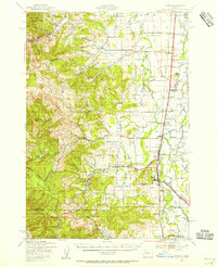
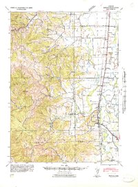
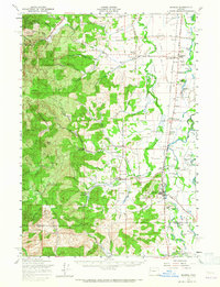
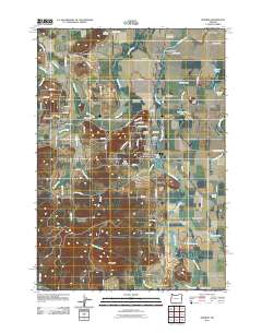
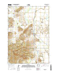
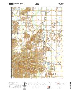
Historical Maps of Monroe Through Time
11 maps found
1911 Monroe
Benton County, OR
1922 Monroe
Benton County, OR
1939 Monroe
Benton County, OR
1942 Monroe
Benton County, OR
1957 Monroe
Benton County, OR
1969 Monroe
Benton County, OR
2011 Monroe
Benton County, OR

2014 Monroe
Benton County, OR
2017 Monroe
Benton County, OR
2020 Monroe
Benton County, OR
2023 Monroe
Benton County, OR