Loading...
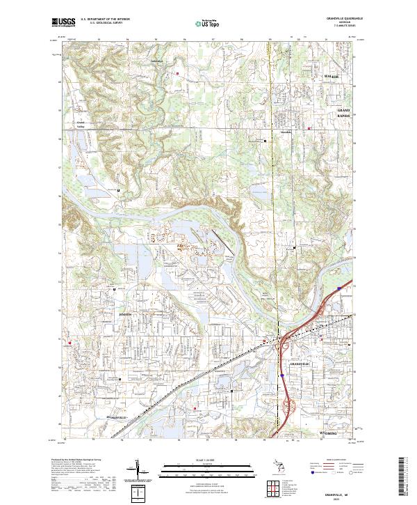
Loading map...2023 Map of Grandville
USGS Topo · Published 2023About this map
The Grand River meanders through the heart of this landscape, separating the residential expansions of Jenison and Grandville from the more open lands of Tallmadge. This modern survey illustrates the dense suburban grid south of the river, where established community landmarks like Grandville Cem and Jenison Cem remain as focal points for local history. To the north, the terrain transitions into the mixed-use developments of Standale and the southern edge of Walker.
Find a feature on this map
66 named features on this map. Tap any name to fly to it.
Don’t see what you’re looking for? This feature index may not catch every label — zoom into the map to look around manually.
Map Details
Date Portrayed2023
Date Published2023
PublisherU.S. Geological Survey
Map TypeTopographic
Scale1:24000
Physical Dimensions24 x 29 inches
Editions of this 2023 Grandville Map
This is the sole edition of this map. No revisions or reprints were ever made.
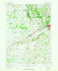
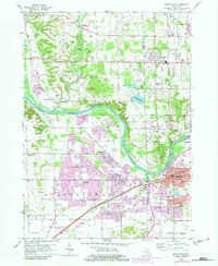
Historical Maps of Georgetown Charter Township Through Time
3 maps found
Featured Locations
Source Details
SourceU.S. Geological Survey
CopyrightPublic Domain