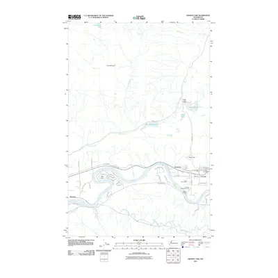
2011 Map of Grandy Lake
USGS Topo · Published 2011About this map
The Skagit River carves through this northern Washington landscape, anchoring the valley towns of Concrete and Grassmere. Near the river's bend at Cape Horn, the terrain transitions from the developed corridor of the S Skagit Hwy to the steep slopes of Goat Mountain and Burpee Hill. This 2011 survey captures the area's industrial and community infrastructure, including the Eagle Hill Quarry, the Concrete Municipal Airport, and the Concrete Post Office. To the north, the geography is defined by a series of alpine water bodies such as Grandy Lake, Lake Tyee, and Vogler Lake. Local historical landmarks like Forest Park Cemetery and the Dalles Bridge offer specific points of interest for genealogists and researchers tracking the development of these riverfront settlements as they appeared in the early 21st century.
Find a feature on this map
52 named features on this map. Tap any name to fly to it.
Don’t see what you’re looking for? This feature index may not catch every label — zoom into the map to look around manually.
Map Details
Editions of this 2011 Grandy Lake Map
This is the sole edition of this map. No revisions or reprints were ever made.
Other maps of this area

1899 · Stillaguamish
USGS Topo · 1:125,000

1901 · Stilaguamish
USGS Topo · 1:125,000

1909 · Mt Baker
USGS Topo · 1:192,000

1915 · Mt. Baker
USGS Topo · 1:250,000

1952 · Lake Shannon
USGS Topo · 1:62,500

1952 · Hamilton
USGS Topo · 1:62,500

1955 · Concrete
USGS Topo · 1:250,000

1956 · Oso
USGS Topo · 1:62,500

1958 · Concrete
USGS Topo · 1:250,000

1962 · Concrete
USGS Topo · 1:250,000