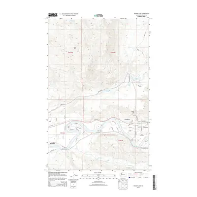
2014 Map of Grandy Lake
USGS Topo · Published 2014About this map
The Skagit River carves through the lower half of this landscape, defining the Skagit Valley and connecting the riverfront communities of Concrete, Grassmere, and Birdsview. This 2014 survey documents the area's development along the S Skagit Hwy, where the Dalles Bridge spans the river and Mears Field Airport serves the local aviation needs. Near the town center of Concrete, researchers can locate the Forest Park Cem along Dalles Rd.
Find a feature on this map
57 named features on this map. Tap any name to fly to it.
Don’t see what you’re looking for? This feature index may not catch every label — zoom into the map to look around manually.
Map Details
Editions of this 2014 Grandy Lake Map
This is the sole edition of this map. No revisions or reprints were ever made.
Other maps of this area

1899 · Stillaguamish
USGS Topo · 1:125,000

1901 · Stilaguamish
USGS Topo · 1:125,000

1909 · Mt Baker
USGS Topo · 1:192,000

1915 · Mt. Baker
USGS Topo · 1:250,000

1952 · Lake Shannon
USGS Topo · 1:62,500

1952 · Hamilton
USGS Topo · 1:62,500

1955 · Concrete
USGS Topo · 1:250,000

1956 · Oso
USGS Topo · 1:62,500

1958 · Concrete
USGS Topo · 1:250,000

1962 · Concrete
USGS Topo · 1:250,000