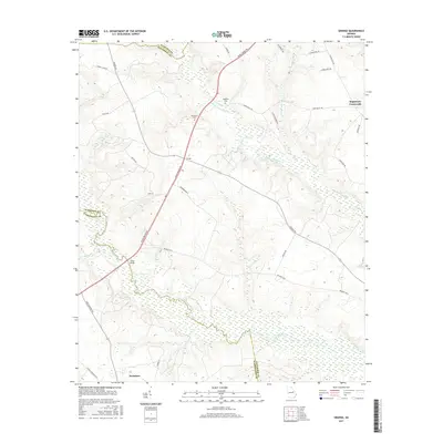
2017 Map of Grange
USGS Topo · Published 2017About this map
The Ogeechee River snakes across the southern portion of this landscape, defining the county line between Jefferson and Washington. Near its banks, the crossing at Fenns Bridge serves as a local landmark where Fenns Bridge Rd meets the water. The settlement of Grange sits at a central junction, while further south, the town of Davisboro borders the map's edge along the rail corridor.
Find a feature on this map
37 named features on this map. Tap any name to fly to it.
Don’t see what you’re looking for? This feature index may not catch every label — zoom into the map to look around manually.
Map Details
Editions of this 2017 Grange Map
This is the sole edition of this map. No revisions or reprints were ever made.
Other maps of this area

1920 · Stapleton
USGS Topo · 1:62,500

1948 · Stapleton
USGS Topo · 1:62,500

1948 · Louisville
USGS Topo · 1:24,000

1950 · Louisville
USGS Topo · 1:24,000

1950 · Wrens
USGS Topo · 1:24,000

1953 · Athens
USGS Topo · 1:250,000

1957 · Macon
USGS Topo · 1:250,000

1958 · Macon
USGS Topo · 1:250,000

1958 · Athens
USGS Topo · 1:250,000

1959 · Athens
USGS Topo · 1:250,000