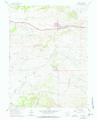
1962 Map of Granite
USGS Topo · Published 1978About this map
The Union Pacific corridor dominates this high-plains landscape in Laramie County, tracing a route through the hills north of Saddleback Mountain. Small rural settlements like Granite and Harriman anchor the map, with local life historically centered on ranching and the railroad. Educational landmarks such as the Otone Sch and Willadsen Sch indicate a dispersed but established population during the mid-20th century.
Find a feature on this map
23 named features on this map. Tap any name to fly to it.
Don’t see what you’re looking for? This feature index may not catch every label — zoom into the map to look around manually.
Map Details
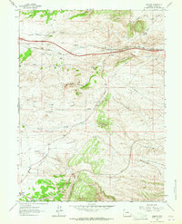
Editions of this 1962 Granite Map
2 editions found
Other maps of this area

1905 · Sherman
USGS Topo · 1:125,000

1907 · Livermore
USGS Topo · 1:125,000

1909 · Livermore
USGS Topo · 1:125,000

1948 · Sherman Mountains
USGS Topo · 1:62,500

1950 · Sherman Mountains
USGS Topo · 1:62,500

1954 · Cheyenne
USGS Topo · 1:250,000

1954 · Greeley
USGS Topo · 1:250,000

1957 · Greeley
USGS Topo · 1:250,000

1958 · Cheyenne
USGS Topo · 1:250,000

1958 · Greeley
USGS Topo · 1:250,000