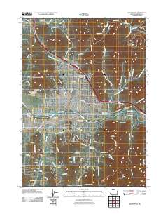
2011 Map of Grants Pass
USGS Topo · Published 2011About this map
The city of Grants Pass serves as the focal point of this 2011 survey, situated along the banks of the Rogue River. The urban layout is defined by its transit corridors, including the crossing of the Caveman Bridge and the infrastructure supporting the Josephine County Fairgrounds and the Grants Pass Post Office. The landscape transitions from the developed grid of the city and the adjacent community of Fruitdale into more varied terrain marked by distinctive heights such as Dollar Mountain and Beacon Hill.
Find a feature on this map
134 named features on this map. Tap any name to fly to it.
Don’t see what you’re looking for? This feature index may not catch every label — zoom into the map to look around manually.
Map Details
Editions of this 2011 Grants Pass Map
This is the sole edition of this map. No revisions or reprints were ever made.
Other maps of this area

1904 · Riddle
USGS Topo · 1:125,000

1908 · Grants Pass
USGS Topo · 1:125,000

1954 · Glendale
USGS Topo · 1:62,500

1954 · Gold Hill
USGS Topo · 1:62,500

1954 · Wimer
USGS Topo · 1:62,500

1954 · Grants Pass
USGS Topo · 1:62,500

1955 · Medford
USGS Topo · 1:250,000

1957 · Medford
USGS Topo · 1:250,000

1958 · Medford
USGS Topo · 1:250,000

1974 · Grants Pass NW
USGS Topo · 1:24,000