
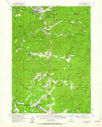
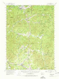
1954 Map of Glendale
USGS Topo · Published 1956About this map
Glendale serves as the northern hub of this mid-century survey, situated at the intersection of the Southern Pacific railroad and Cow Creek. This landscape is defined by its deep mining history, with a heavy concentration of claims including the Greenback Mine, Sluter Mine, and Golden Ring Mine scattered across the hills. The transport corridor is anchored by the Pacific Highway, which winds through the terrain via Stage Road Pass and Sexton Mtn, connecting several small communities and ranches.
Find a feature on this map
101 named features on this map. Tap any name to fly to it.
Don’t see what you’re looking for? This feature index may not catch every label — zoom into the map to look around manually.
Map Details
Editions of this 1954 Glendale Map
3 editions found
Other maps of this area

1904 · Riddle
USGS Topo · 1:125,000

1908 · Grants Pass
USGS Topo · 1:125,000

1917 · Kerby
USGS Topo · 1:125,000

1918 · Kerby
USGS Topo · 1:125,000

1945 · Kerby
USGS Topo · 1:125,000

1946 · Galice
USGS Topo · 1:62,500

1946 · Dutchman Butte
USGS Topo · 1:62,500

1948 · Galice
USGS Topo · 1:62,500

1948 · Dutchman Butte
USGS Topo · 1:62,500

1954 · Days Creek
USGS Topo · 1:62,500