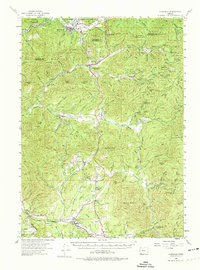
1954 Map of Glendale
USGS Topo · Published 1974About this map
Southern Pacific rail lines and the winding waters of Grave Creek define the mid-century industrial landscape of this Southern Oregon region. The survey documents a dense concentration of mining operations tucked into the gulches and peaks along the Douglas and Josephine county line, including the Greenback Mine, Lucky Queen Mine, and Morning Mine. These sites, alongside numerous placer claims like Aman Ranch Placer, reflect the enduring legacy of the local gold and mineral economy.
Find a feature on this map
118 named features on this map. Tap any name to fly to it.
Don’t see what you’re looking for? This feature index may not catch every label — zoom into the map to look around manually.
Map Details
Editions of this 1954 Glendale Map
3 editions found

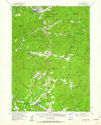
Other maps of this area

1904 · Riddle
USGS Topo · 1:125,000

1908 · Grants Pass
USGS Topo · 1:125,000

1917 · Kerby
USGS Topo · 1:125,000

1918 · Kerby
USGS Topo · 1:125,000

1945 · Kerby
USGS Topo · 1:125,000

1946 · Galice
USGS Topo · 1:62,500

1946 · Dutchman Butte
USGS Topo · 1:62,500

1948 · Galice
USGS Topo · 1:62,500

1948 · Dutchman Butte
USGS Topo · 1:62,500

1954 · Days Creek
USGS Topo · 1:62,500