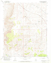
1968 Map of Grapevine Canyon
USGS Topo · Published 1971About this map
Grand Wash Cliffs dominate this portion of the Mohave County landscape, creating a dramatic topographical division between the high plateau and the drainages below. During the late 1960s, this area served as a transition zone between the Lake Mead National Recreation Area to the north and the Hualapai Indian Reservation to the east. The arid environment is defined by its water management, evidenced by several scattered catchments like Bryce Tank and Reservation Tanks.
Find a feature on this map
17 named features on this map. Tap any name to fly to it.
Don’t see what you’re looking for? This feature index may not catch every label — zoom into the map to look around manually.
Map Details
Editions of this 1968 Grapevine Canyon Map
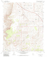
2 editions found
Other maps of this area

1886 · Diamond Creek
USGS Topo · 1:250,000

1886 · Camp Mohave
USGS Topo · 1:250,000

1886 · Saint Thomas
USGS Topo · 1:250,000

1886 · Mt. Trumbull
USGS Topo · 1:250,000

1892 · Diamond Creek
USGS Topo · 1:250,000

1892 · Mt. Trumbull
USGS Topo · 1:250,000

1892 · Camp Mohave
USGS Topo · 1:250,000

1893 · Saint Thomas
USGS Topo · 1:250,000

1926 · Bonelli
USGS Topo · 1:96,000

1942 · Camp Mohave
USGS Topo · 1:250,000