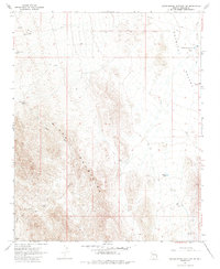
1967 Map of Grasshopper Junction NW
USGS Topo · Published 1985About this map
Portland Mine and several scattered prospects define the industrial character of this desert landscape in the late 1960s. The terrain transitions sharply from the rugged western heights of the Black Mountains down into the expansive Detrital Valley to the east. Water management is central to survival and livestock operations here, evidenced by a network of catchments and sources including Cottonwood Reservoir, Middle Tank, and Squaw Pocket Well. Drainage patterns are carved by Lost Cabin Wash and Portland Wash, which flow toward the valley floor. The map records a sparse but functional infrastructure of unimproved roads and corrals, such as Corral Junction Tank, indicating the area's use for both mining exploration and open-range ranching during this period.
Find a feature on this map
21 named features on this map. Tap any name to fly to it.
Don’t see what you’re looking for? This feature index may not catch every label — zoom into the map to look around manually.
Map Details
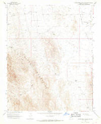
Editions of this 1967 Grasshopper Junction NW Map
2 editions found
Other maps of this area

1886 · Camp Mohave
USGS Topo · 1:250,000

1892 · Camp Mohave
USGS Topo · 1:250,000

1926 · Nelson
USGS Topo · 1:96,000

1926 · Mohave City
USGS Topo · 1:96,000

1942 · Camp Mohave
USGS Topo · 1:250,000

1947 · Kingman
USGS Topo · 1:250,000

1948 · Kingman
USGS Topo · 1:250,000

1954 · Kingman
USGS Topo · 1:250,000

1955 · Kingman
USGS Topo · 1:250,000

1958 · Kingman
USGS Topo · 1:250,000