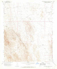
1967 Map of Grasshopper Junction NW
USGS Topo · Published 1968About this map
The Black Mountains dominate this 1967 survey of Mohave County, where the high desert terrain descends sharply into the broad Detrital Valley. This arid landscape is defined by its water sources and mining history, notably the Portland Mine in the southern reaches and scattered prospects throughout the foothills. The scarcity of water is evidenced by the numerous tanks and wells that served local ranching operations, including Cottonwood Reservoir, Middle Tank, and the appropriately named Squaw Pocket Well.
Find a feature on this map
18 named features on this map. Tap any name to fly to it.
Don’t see what you’re looking for? This feature index may not catch every label — zoom into the map to look around manually.
Map Details
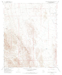
Editions of this 1967 Grasshopper Junction NW Map
2 editions found
Other maps of this area

1886 · Camp Mohave
USGS Topo · 1:250,000

1892 · Camp Mohave
USGS Topo · 1:250,000

1926 · Nelson
USGS Topo · 1:96,000

1926 · Mohave City
USGS Topo · 1:96,000

1942 · Camp Mohave
USGS Topo · 1:250,000

1947 · Kingman
USGS Topo · 1:250,000

1948 · Kingman
USGS Topo · 1:250,000

1954 · Kingman
USGS Topo · 1:250,000

1955 · Kingman
USGS Topo · 1:250,000

1958 · Kingman
USGS Topo · 1:250,000