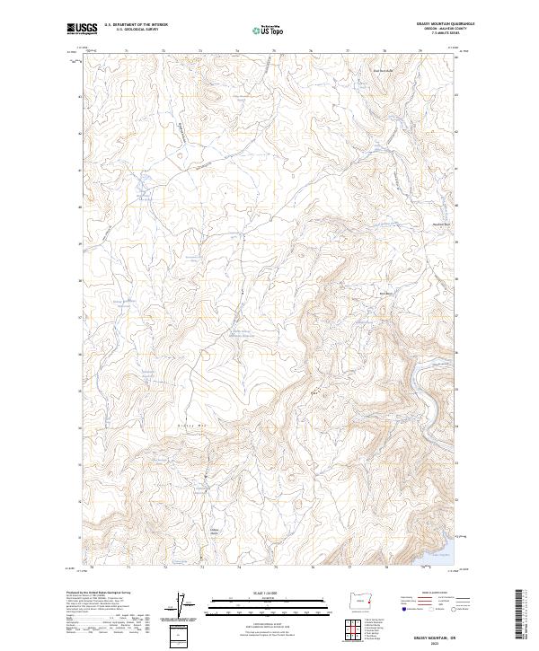
2023 Map of Grassy Mountain
USGS Topo · Published 2023About this map
Grassy Mtn and the surrounding high desert of Malheur County define this landscape, where water management is central to the terrain. A network of man-made catchments, including Grassy Mountain Reservoir, North Grassy Mountain Reservoir, and Schweizer Reservoir, are scattered across the high draws. These features, along with Government Corral Spring and Sagebrush Spring, reflect the necessities of ranching and livestock management in a semi-arid environment. To the southeast, the terrain drops toward the Owyhee River and the northern reaches of Lake Owyhee, which are accessed by the winding Owyhee Lake Rd. The map also details prominent geological landmarks such as Shell Rock Butte and Haystack Rock, alongside drainage systems like Sand Hollow Creek and Lone Willow Creek. This survey captures the specialized infrastructure of eastern Oregon, where isolated springs and reservoirs provide the essential lifeblood for the vast basin and range country.
Find a feature on this map
34 named features on this map. Tap any name to fly to it.
Don’t see what you’re looking for? This feature index may not catch every label — zoom into the map to look around manually.
Map Details
Editions of this 2023 Grassy Mountain Map
This is the sole edition of this map. No revisions or reprints were ever made.
Other maps of this area

1906 · Mitchell Butte
USGS Topo · 1:125,000

1955 · Boise
USGS Topo · 1:250,000

1958 · Boise
USGS Topo · 1:250,000

1962 · Boise
USGS Topo · 1:250,000
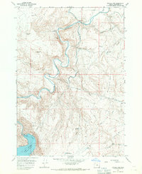
1967 · Owyhee Dam
USGS Topo · 1:24,000
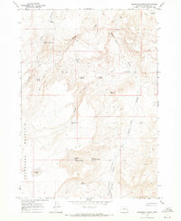
1967 · Sourdough Spring
USGS Topo · 1:24,000
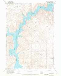
1967 · The Elbow
USGS Topo · 1:24,000
1967 · Kane Spring Gulch
USGS Topo · 1:24,000
1967 · Double Mtn
USGS Topo · 1:24,000

1967 · Twin Springs
USGS Topo · 1:24,000