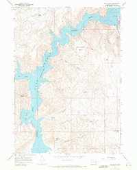
1967 Map of The Elbow
USGS Topo · Published 1971About this map
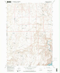
Lake Owyhee dominates the high desert landscape of Malheur County in the mid-1960s, its winding waters filling the deep canyons of the Owyhee River. This survey captures the reservoir at a normal pool elevation of 2,655 feet, showcasing the dramatic topography where the water meets the steep slopes of Burnt Mountain and Iron Mountain. On the northeastern shore, Lake Owyhee State Park and the V W McCormack Area serve as focal points for recreation, complete with a lakeside Resort. The map reveals a complex network of seasonal drainages such as Deer Creek, Cherry Creek, and Rookie Canyon Creek feeding into the main body of water. Named landmarks like Nannys Nipple and the distinctive bend known as The Elbow provide essential navigational points for those exploring this arid, elevated terrain.
Find a feature on this map
29 named features on this map. Tap any name to fly to it.
Don’t see what you’re looking for? This feature index may not catch every label — zoom into the map to look around manually.
Map Details
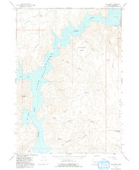
Editions of this 1967 The Elbow Map
2 editions found
Other maps of this area

1906 · Mitchell Butte
USGS Topo · 1:125,000

1955 · Boise
USGS Topo · 1:250,000

1958 · Boise
USGS Topo · 1:250,000

1962 · Boise
USGS Topo · 1:250,000

1967 · Pelican Point
USGS Topo · 1:24,000
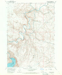
1967 · Owyhee Dam
USGS Topo · 1:24,000
1967 · Sourdough Spring
USGS Topo · 1:24,000

1967 · Twin Springs
USGS Topo · 1:24,000
1967 · Grassy Mtn
USGS Topo · 1:24,000

1967 · Quartz Mtn Basin
USGS Topo · 1:24,000