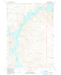
1967 Map of The Elbow
USGS Topo · Published 1991About this map
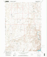
Lake Owyhee dominates this landscape, its waters filling the deep canyons of the Owyhee River at a recorded elevation of 2,655 feet. The map details a rugged transition from water to high desert, where steep terrain like Owyhee Ridge and Iron Mountain looms over the reservoir. Recreation in the late 1960s is centered at Lake Owyhee State Park, which includes the V W McCormack Area and a lakeside resort near the mouth of Birch Creek. Inland from the shoreline, the topography is defined by significant landmarks such as Nannys Nipple and the broad Wild Horse Basin. Numerous dry washes like Cherry Creek and Canyon Creek demonstrate the seasonal nature of water flow in this arid region, while the presence of scattered springs like Rookie Canyon Spring suggests the vital importance of reliable water sources for early land use and wildlife.
Find a feature on this map
30 named features on this map. Tap any name to fly to it.
Don’t see what you’re looking for? This feature index may not catch every label — zoom into the map to look around manually.
Map Details
Editions of this 1967 The Elbow Map
2 editions found
Other maps of this area

1906 · Mitchell Butte
USGS Topo · 1:125,000

1955 · Boise
USGS Topo · 1:250,000

1958 · Boise
USGS Topo · 1:250,000

1962 · Boise
USGS Topo · 1:250,000

1967 · Pelican Point
USGS Topo · 1:24,000
1967 · Owyhee Dam
USGS Topo · 1:24,000
1967 · Sourdough Spring
USGS Topo · 1:24,000
1967 · The Elbow
USGS Topo · 1:24,000

1967 · Twin Springs
USGS Topo · 1:24,000
1967 · Grassy Mtn
USGS Topo · 1:24,000