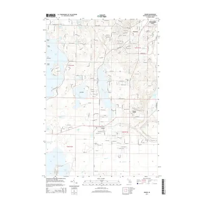
2014 Map of Grawn
USGS Topo · Published 2014About this map
Silver Lake and the eastern reaches of Long Lake dominate this landscape south of Traverse City, illustrating a region defined by its numerous glacial water bodies and late-twentieth-century residential expansion. The settlement of Grawn serves as a local hub near the intersection of major county routes, while Chums Corner and Brookside mark significant points of local commerce and community. The terrain rises toward McCrea Hill, overlooking a network of smaller basins like Dyer Lake and Page Lake.
Find a feature on this map
184 named features on this map. Tap any name to fly to it.
Don’t see what you’re looking for? This feature index may not catch every label — zoom into the map to look around manually.
Map Details
Editions of this 2014 Grawn Map
This is the sole edition of this map. No revisions or reprints were ever made.
Other maps of this area

1954 · Traverse City
USGS Topo · 1:250,000

1956 · Kingsley
USGS Topo · 1:62,500

1956 · Thompsonville
USGS Topo · 1:62,500

1957 · Traverse City
USGS Topo · 1:62,500

1957 · Maple City
USGS Topo · 1:62,500

1958 · Traverse City
USGS Topo · 1:250,000

1976 · Thompsonville NE
USGS Topo · 1:24,000

1976 · Thompsonville SE
USGS Topo · 1:24,000

1983 · Maple City
USGS Topo · 1:24,000

1983 · Buckley
USGS Topo · 1:25,000
Featured Places
- Garfield Charter Township, Garfield Township
- Garfield Township, MI
- Traverse City, MI
- Long Lake Township, MI
- Blair Township, MI