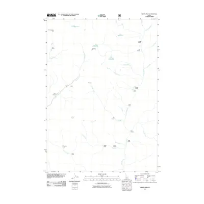
2011 Map of Grays Peak
USGS Topo · Published 2011About this map
Sunshine Mine and the Mascot Mine sit deep within the high-elevation drainage of the East Fork Wood River in this 2011 survey. The landscape is defined by its extreme verticality, dominated by the massif of Grays Peak and Old Hyndman Peak. The hydrology of the area is characterized by alpine tarns and steep drainages, including Arrowhead Lake, Windy Lake, and the tiered Upper Box Canyon Lake and Lower Box Canyon Lake. Transport through this difficult terrain is restricted to high gaps like Johnstone Pass and P K Pass. The map details a network of named gulches and canyons, such as Snowslide Gulch, Cabin Gulch, and Brocky Canyon, which funnel seasonal runoff into the Little Wood River and its various tributaries like Iron Mine Creek and Chaparral Creek.
Find a feature on this map
38 named features on this map. Tap any name to fly to it.
Don’t see what you’re looking for? This feature index may not catch every label — zoom into the map to look around manually.
Map Details
Editions of this 2011 Grays Peak Map
This is the sole edition of this map. No revisions or reprints were ever made.
Other maps of this area

1895 · Hailey
USGS Topo · 1:125,000

1897 · Hailey
USGS Topo · 1:125,000

1935 · MacKay
USGS Topo · 1:96,000

1955 · Idaho Falls
USGS Topo · 1:250,000

1955 · Hailey
USGS Topo · 1:250,000

1958 · Idaho Falls
USGS Topo · 1:250,000

1959 · Hailey
USGS Topo · 1:250,000

1960 · Muldoon Canyon
USGS Topo · 1:62,500

1960 · Copper Basin
USGS Topo · 1:62,500

1962 · Hailey
USGS Topo · 1:250,000