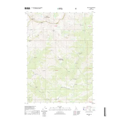
2020 Map of Grays Peak
USGS Topo · Published 2020About this map
The Pioneer Mountains dominate this high-altitude landscape on the border of the Challis National Forest and Sawtooth National Forest. This region is defined by deep drainages and sharp ridges, where the E Fork Wood River and Little Wood River originate from alpine basins and cirque lakes. Notable water bodies such as Arrowhead Lake, Windy Lake, and the tiered Upper Box Canyon Lake and Lower Box Canyon Lake are tucked into the steep topography of the Custer and Blaine County line.
Find a feature on this map
53 named features on this map. Tap any name to fly to it.
Don’t see what you’re looking for? This feature index may not catch every label — zoom into the map to look around manually.
Map Details
Editions of this 2020 Grays Peak Map
This is the sole edition of this map. No revisions or reprints were ever made.
Other maps of this area

1895 · Hailey
USGS Topo · 1:125,000

1897 · Hailey
USGS Topo · 1:125,000

1935 · MacKay
USGS Topo · 1:96,000

1955 · Idaho Falls
USGS Topo · 1:250,000

1955 · Hailey
USGS Topo · 1:250,000

1958 · Idaho Falls
USGS Topo · 1:250,000

1959 · Hailey
USGS Topo · 1:250,000

1960 · Muldoon Canyon
USGS Topo · 1:62,500

1960 · Copper Basin
USGS Topo · 1:62,500

1962 · Hailey
USGS Topo · 1:250,000