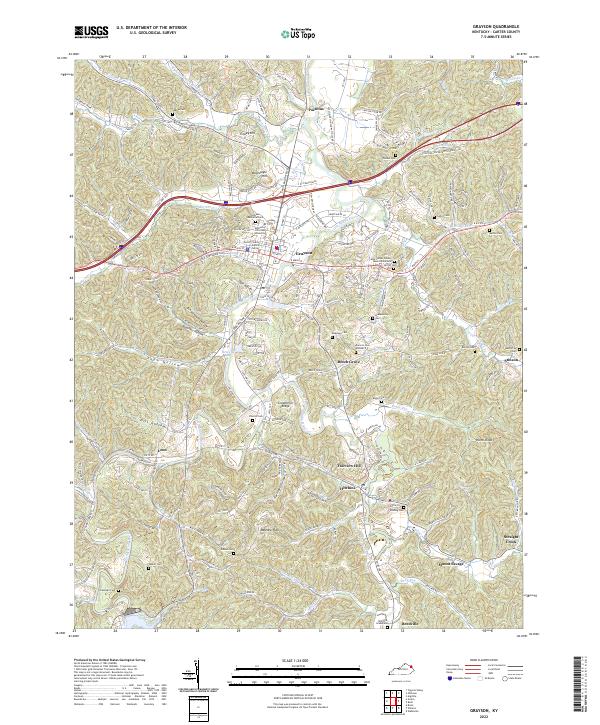
2022 Map of Grayson
USGS Topo · Published 2022About this map
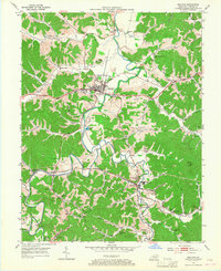
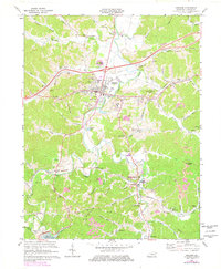
The Little Sandy River and Little Fork Little Sandy River dominate this landscape in Carter County, carving through a region defined by scattered valley settlements and family burial grounds. Grayson serves as the primary hub, home to Kentucky Christian University and the Carter County Justice Center. The map documents a high density of genealogical sites, including the Womack Graveyard, Seaton Cem, and Queen Ln Bolding Cem, many situated on ridges such as Greenbrier Ridge or near the numerous branches that feed the river system.
Find a feature on this map
71 named features on this map. Tap any name to fly to it.
Don’t see what you’re looking for? This feature index may not catch every label — zoom into the map to look around manually.
Map Details
Editions of this 2022 Grayson Map
This is the sole edition of this map. No revisions or reprints were ever made.