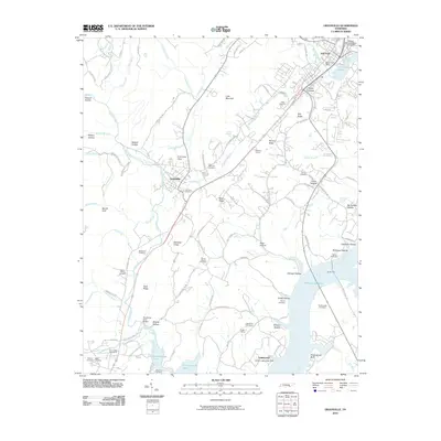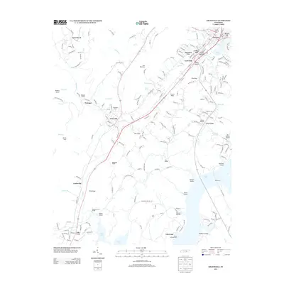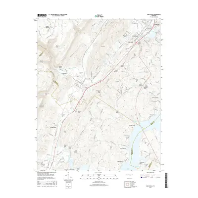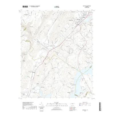
2022 Map of Graysville
USGS Topo · Published 2022About this map
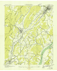
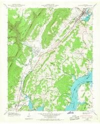
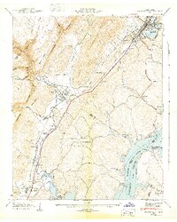
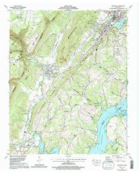
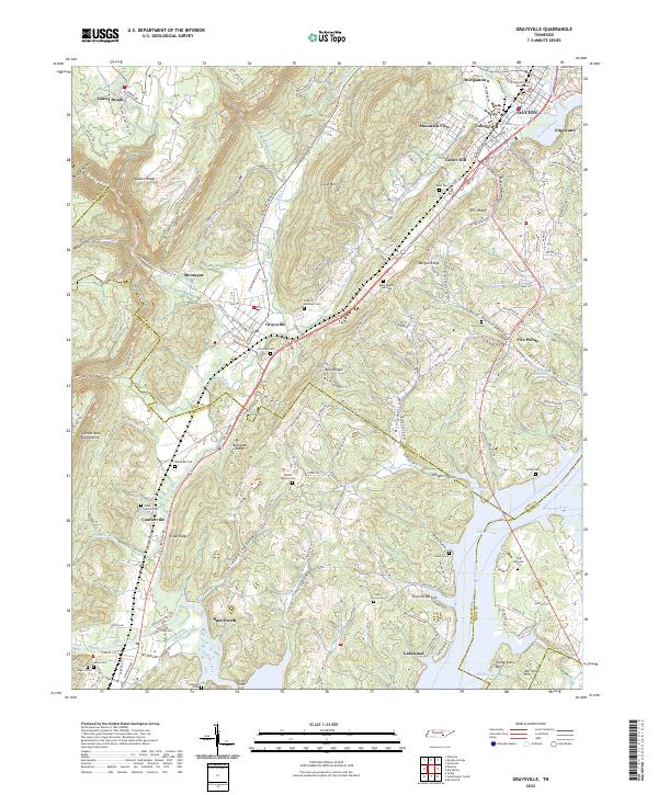
The dramatic relief of Walden Ridge and the Cumberland Escarpment dominates this portion of Rhea County, where steep-walled features like McGill Gulf and Cranmore Cove drop away from the high plateau. The topography reveals a landscape deeply carved by drainage systems including Sale Creek and Richland Creek, which flow toward the broad waters of the Tennessee River and the Hiwassee River at the eastern edge of the sheet. This area serves as a primary corridor for north-south transit, with Dayton Pike following the base of the escarpment through settlements like Graysville, Coulterville, and Sale Creek.
Find a feature on this map
199 named features on this map. Tap any name to fly to it.
Don’t see what you’re looking for? This feature index may not catch every label — zoom into the map to look around manually.
Map Details
Editions of this 2022 Graysville Map
This is the sole edition of this map. No revisions or reprints were ever made.
Historical Maps of Dayton Through Time
9 maps found