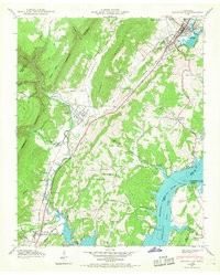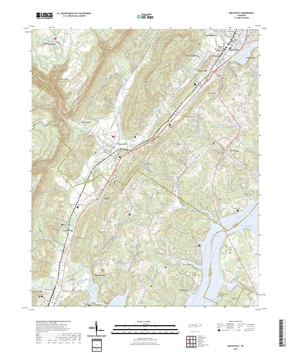
1935 Map of Graysville
USGS Topo · Published 1935About this map
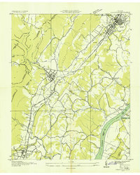
Graysville and Dayton serve as the primary hubs of activity along the Southern Railway corridor in this 1935 Tennessee Valley Authority compilation. The map reveals a landscape defined by the Cumberland Escarpment to the west and the wide sweep of the Tennessee River to the southeast, where Hiwassee Island sits at the confluence with the Hiwassee Riv. This era of the mid-1930s is particularly evident in the presence of CCC Camp No 3470 near Sale Creek, reflecting Great Depression-era public works projects in the Tennessee Valley.
Find a feature on this map
56 named features on this map. Tap any name to fly to it.
Don’t see what you’re looking for? This feature index may not catch every label — zoom into the map to look around manually.
Map Details
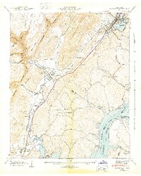
Editions of this 1935 Graysville Map
This is the sole edition of this map. No revisions or reprints were ever made.
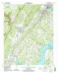
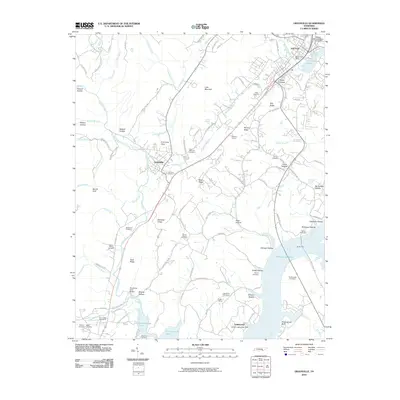
Historical Maps of Dayton Through Time
9 maps found