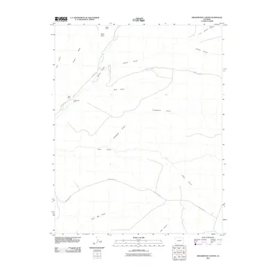
2010 Map of Greasewood Canyon
USGS Topo · Published 2010About this map
Sixteen Window House and the Double Walled Tower stand as prominent archaeological landmarks on this 2010 topographic survey of the southwest Colorado landscape. The terrain is defined by the high, flat-topped Chapin Mesa, which is deeply dissected by a network of drainage systems including Greasewood Canyon, Johnson Canyon, and Lion Canyon. Along the northern edge of the map, the Mancos River winds through the canyons near Soda Point, providing a vital water source in an otherwise arid environment. This map reflects a landscape dedicated to preservation and research, where prehistoric structures like Eagle Nest House are mapped alongside modern access routes such as Indian Rte 204. The concentration of named ruins and specialized towers suggests the cultural density of the ancestral Puebloan heritage within this section of the state.
Find a feature on this map
18 named features on this map. Tap any name to fly to it.
Don’t see what you’re looking for? This feature index may not catch every label — zoom into the map to look around manually.
Map Details
Editions of this 2010 Greasewood Canyon Map
This is the sole edition of this map. No revisions or reprints were ever made.
Other maps of this area

1889 · Chaco
USGS Topo · 1:250,000

1892 · Chaco
USGS Topo · 1:250,000

1912 · Soda Canyon
USGS Topo · 1:62,500

1915 · Soda Canyon
USGS Topo · 1:62,500

1934 · Chimney Rock
USGS Topo · 1:62,500

1936 · Chimney Rock
USGS Topo · 1:62,500

1954 · Shiprock
USGS Topo · 1:250,000

1956 · Cortez
USGS Topo · 1:250,000

1958 · Cortez
USGS Topo · 1:250,000

1958 · Shiprock
USGS Topo · 1:250,000