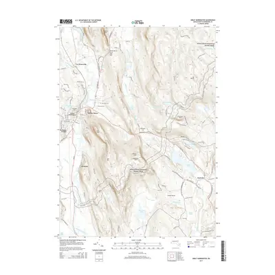
2015 Map of Great Barrington
USGS Topo · Published 2015About this map
The Housatonic River carves a path through the valley at Great Barrington, anchoring a landscape where industrial heritage meets the high ridges of Beartown Mountain. In this 2015 update, the established settlements of Van Deusenville and Belcher Square sit alongside family-named landmarks like Three Mile Hill and Mansfield Pond. The map reveals a high concentration of water features, from the Barbieri Reservoir to the recreationally significant Lake Buel and Benedict Pond.
Find a feature on this map
112 named features on this map. Tap any name to fly to it.
Don’t see what you’re looking for? This feature index may not catch every label — zoom into the map to look around manually.
Map Details
Editions of this 2015 Great Barrington Map
This is the sole edition of this map. No revisions or reprints were ever made.
Other maps of this area

1885 · Sheffield
USGS Topo · 1:62,500

1886 · Becket
USGS Topo · 1:62,500

1888 · Sheffield
USGS Topo · 1:62,500

1888 · Becket
USGS Topo · 1:62,500

1888 · Sandisfield
USGS Topo · 1:62,500

1888 · Pittsfield
USGS Topo · 1:62,500

1890 · Pittsfield
USGS Topo · 1:62,500

1891 · Sheffield
USGS Topo · 1:62,500

1893 · Becket
USGS Topo · 1:62,500

1893 · Sheffield
USGS Topo · 1:62,500