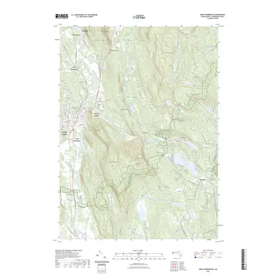
2023 Map of Great Barrington
USGS Topo · Published 2023About this map
Great Barrington and the Housatonic River valley anchor this detailed look at Berkshire County's varied landscape. The river corridor supports a chain of historical settlements including Housatonic, Van Deusenville, and Risingdale, while the village of Hartsville sits to the southeast near the Berkshire Trout Hatchery. For those researching local lineages, the map identifies several burial grounds such as Elmwood Cem and Corashire Cem near the banks of the Konkapot River.
Find a feature on this map
115 named features on this map. Tap any name to fly to it.
Don’t see what you’re looking for? This feature index may not catch every label — zoom into the map to look around manually.
Map Details
Editions of this 2023 Great Barrington Map
This is the sole edition of this map. No revisions or reprints were ever made.
Other maps of this area

1885 · Sheffield
USGS Topo · 1:62,500

1886 · Becket
USGS Topo · 1:62,500

1888 · Sheffield
USGS Topo · 1:62,500

1888 · Becket
USGS Topo · 1:62,500

1888 · Sandisfield
USGS Topo · 1:62,500

1888 · Pittsfield
USGS Topo · 1:62,500

1890 · Pittsfield
USGS Topo · 1:62,500

1891 · Sheffield
USGS Topo · 1:62,500

1893 · Becket
USGS Topo · 1:62,500

1893 · Sheffield
USGS Topo · 1:62,500