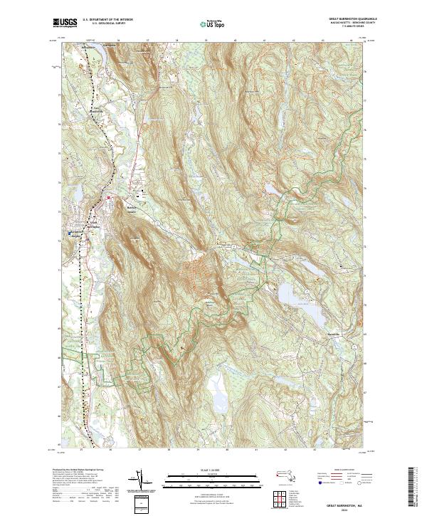
2024 Map of Great Barrington
USGS Topo · Published 2024About this map
The Housatonic River and the Housatonic RR corridor define the industrial and transit heart of this Berkshire County landscape. While the river winds through valley settlements like Housatonic, Risingdale, and Great Barrington, the surrounding terrain rises sharply to prominent peaks such as Monument Mtn and Warner Mtn. The map highlights a long-standing balance between recreational land use and local industry, featuring the Berkshire Trout Hatchery near Hartsville and the recreational slopes of Butternut Basin.
Find a feature on this map
95 named features on this map. Tap any name to fly to it.
Don’t see what you’re looking for? This feature index may not catch every label — zoom into the map to look around manually.
Map Details
Editions of this 2024 Great Barrington Map
This is the sole edition of this map. No revisions or reprints were ever made.
Other maps of this area

1885 · Sheffield
USGS Topo · 1:62,500

1886 · Becket
USGS Topo · 1:62,500

1888 · Sheffield
USGS Topo · 1:62,500

1888 · Becket
USGS Topo · 1:62,500

1888 · Sandisfield
USGS Topo · 1:62,500

1888 · Pittsfield
USGS Topo · 1:62,500

1890 · Pittsfield
USGS Topo · 1:62,500

1891 · Sheffield
USGS Topo · 1:62,500

1893 · Becket
USGS Topo · 1:62,500

1893 · Sheffield
USGS Topo · 1:62,500