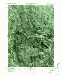
1975 Map of Great Barrington
USGS Topo · Published 1981About this map
The valley of the Housatonic River serves as the primary corridor for settlement and transit in this mid-1970s orthophotoquad. Centered on Great Barrington, the imagery reveals the tight relationship between the Berkshire landscape and its waterways. The confluence where the Williams River joins the main branch of the Housatonic highlights the topographical constraints that shaped the town's development. Further south and east, the map captures the transition into more wooded and rural terrain, punctuated by Lake Buel and the small settlement of Hartsville along the Konkapot River. Unlike traditional topographic sheets, this aerial perspective provides a literal view of land use, from the dense village blocks of Great Barrington to the winding, silty path of the Green River as it meanders through open fields west of the town center.
Find a feature on this map
7 named features on this map. Tap any name to fly to it.
Don’t see what you’re looking for? This feature index may not catch every label — zoom into the map to look around manually.
Map Details
Editions of this 1975 Great Barrington Map
This is the sole edition of this map. No revisions or reprints were ever made.
Other maps of this area

1885 · Sheffield
USGS Topo · 1:62,500

1886 · Becket
USGS Topo · 1:62,500

1888 · Sheffield
USGS Topo · 1:62,500

1888 · Becket
USGS Topo · 1:62,500

1888 · Sandisfield
USGS Topo · 1:62,500

1888 · Pittsfield
USGS Topo · 1:62,500

1890 · Pittsfield
USGS Topo · 1:62,500

1891 · Sheffield
USGS Topo · 1:62,500

1893 · Becket
USGS Topo · 1:62,500

1893 · Sheffield
USGS Topo · 1:62,500