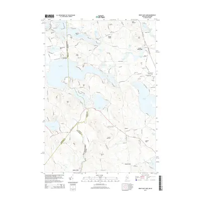
2014 Map of Great East Lake
USGS Topo · Published 2014About this map
Great East Lake straddles the state line between New Hampshire and Maine, serving as a central hub for a landscape defined by glacial ponds and ridges. On the New Hampshire side, the settlements of Shady Nook and Milton Mills border a network of water bodies including Lake Ivanhoe and Lovell Lake. The Maine side, encompassing the town of Acton and North Shapleigh, is particularly dense with genealogical markers. Numerous small burial grounds like Keys Cem and Garland Road Cem are scattered across the terrain.
Find a feature on this map
150 named features on this map. Tap any name to fly to it.
Don’t see what you’re looking for? This feature index may not catch every label — zoom into the map to look around manually.
Map Details
Editions of this 2014 Great East Lake Map
This is the sole edition of this map. No revisions or reprints were ever made.
Other maps of this area

1891 · Berwick
USGS Topo · 1:62,500

1891 · Newfield
USGS Topo · 1:62,500

1893 · Berwick
USGS Topo · 1:62,500

1893 · Newfield
USGS Topo · 1:62,500

1919 · Alton
USGS Topo · 1:62,500

1928 · Wolfeboro
USGS Topo · 1:62,500

1933 · Berwick
USGS Topo · 1:48,000

1933 · Newfield
USGS Topo · 1:48,000

1937 · Newfield
USGS Topo · 1:62,500

1937 · Berwick
USGS Topo · 1:62,500