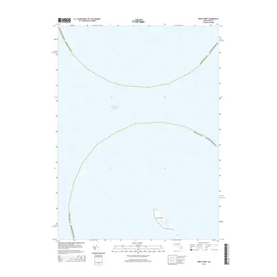
2015 Map of Great Point
USGS Topo · Published 2015About this map
Great Point marks the northernmost tip of Nantucket, emerging from the expansive waters of the Atlantic Ocean. This 2015 survey reveals the thin, shifting coastal geography where the boundaries of Nantucket County and Barnstable County meet in the open sea. The map focuses heavily on the maritime environment, documenting the shoals and sandbars known as The Gulls just off the shoreline. It illustrates the isolation of this narrow peninsula, providing a clear geographic record of the island's coastal extent and the surrounding marine landscape prior to further erosion and natural shifts in the shoreline.
Find a feature on this map
5 named features on this map. Tap any name to fly to it.
Don’t see what you’re looking for? This feature index may not catch every label — zoom into the map to look around manually.
Map Details
Editions of this 2015 Great Point Map
This is the sole edition of this map. No revisions or reprints were ever made.
Other maps of this area

1887 · Yarmouth
USGS Topo · 1:62,500

1888 · Chatham
USGS Topo · 1:62,500

1889 · Yarmouth
USGS Topo · 1:62,500

1889 · Nantucket
USGS Topo · 1:62,500

1893 · Nantucket
USGS Topo · 1:62,500

1893 · Chatham
USGS Topo · 1:62,500

1893 · Yarmouth
USGS Topo · 1:62,500

1901 · Nantucket
USGS Topo · 1:62,500

1917 · Chatham
USGS Topo · 1:62,500

1942 · Cape Cod Bay
USGS Topo · 1:125,000