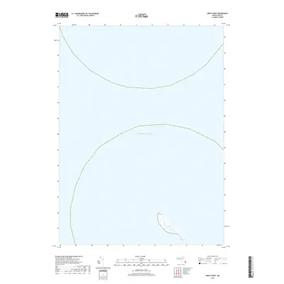
2018 Map of Great Point
USGS Topo · Published 2018About this map
The Galls represents the primary landform in this maritime survey, illustrating the narrow, shifting coastal topography where land meets the Atlantic Ocean. Located near the northern reaches of Nantucket, this area is characterized by its isolation and the constant influence of the sea on its sandy shoreline. The map focuses almost exclusively on the surrounding waters, providing a clear picture of the maritime environment and the delicate finger of land that defines the entrance to local harbors. It is a specialized view of a coastal boundary that is perpetually reshaped by the currents and tides of the open ocean.
Find a feature on this map
2 named features on this map. Tap any name to fly to it.
Don’t see what you’re looking for? This feature index may not catch every label — zoom into the map to look around manually.
Map Details
Editions of this 2018 Great Point Map
This is the sole edition of this map. No revisions or reprints were ever made.
Other maps of this area

1887 · Yarmouth
USGS Topo · 1:62,500

1888 · Chatham
USGS Topo · 1:62,500

1889 · Yarmouth
USGS Topo · 1:62,500

1889 · Nantucket
USGS Topo · 1:62,500

1893 · Nantucket
USGS Topo · 1:62,500

1893 · Chatham
USGS Topo · 1:62,500

1893 · Yarmouth
USGS Topo · 1:62,500

1901 · Nantucket
USGS Topo · 1:62,500

1917 · Chatham
USGS Topo · 1:62,500

1942 · Cape Cod Bay
USGS Topo · 1:125,000