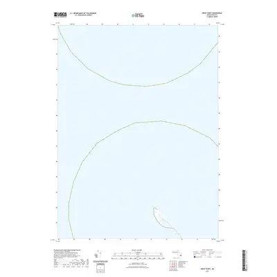
2021 Map of Great Point
USGS Topo · Published 2021About this map
The Galls stands as the primary topographical feature on this coastal survey conducted by the U.S. Geological Survey. This specific environment illustrates the dynamic and shifting nature of the Massachusetts coastline, where narrow strips of land are subject to the constant influence of the Atlantic. The 2021 data reflects the contemporary state of these barrier features, which serve as critical landmarks for local navigation and coastal monitoring. Because this quadrangle is predominantly composed of open water, it provides a precise baseline for researchers studying littoral drift and shoreline migration along this isolated stretch of the shore.
Find a feature on this map
1 named feature on this map. Tap any name to fly to it.
Don’t see what you’re looking for? This feature index may not catch every label — zoom into the map to look around manually.
Map Details
Editions of this 2021 Great Point Map
This is the sole edition of this map. No revisions or reprints were ever made.
Other maps of this area

1887 · Yarmouth
USGS Topo · 1:62,500

1888 · Chatham
USGS Topo · 1:62,500

1889 · Yarmouth
USGS Topo · 1:62,500

1889 · Nantucket
USGS Topo · 1:62,500

1893 · Nantucket
USGS Topo · 1:62,500

1893 · Chatham
USGS Topo · 1:62,500

1893 · Yarmouth
USGS Topo · 1:62,500

1901 · Nantucket
USGS Topo · 1:62,500

1917 · Chatham
USGS Topo · 1:62,500

1942 · Cape Cod Bay
USGS Topo · 1:125,000