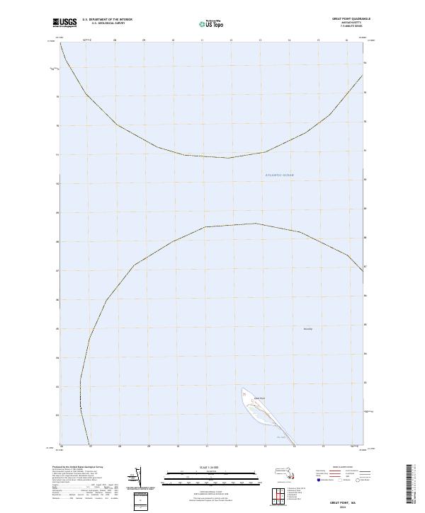
2024 Map of Great Point
USGS Topo · Published 2024About this map
Nantucket National Wildlife Refuge occupies the narrow, tapering terminal end of the island, where the land meets the meeting currents of the Atlantic Ocean. This 2024 survey captures the ephemeral geography of Great Point, a dynamic spit of land subject to the constant influence of coastal erosion and shifting sands. The map details the thin land bridge known as The Galls, which connects the main body of the refuge to the lighthouse tip, and identifies Point Rip just offshore. These features document a landscape defined by its exposure, illustrating the precarious nature of the island’s northernmost reach where shoals and deep water converge.
Find a feature on this map
5 named features on this map. Tap any name to fly to it.
Don’t see what you’re looking for? This feature index may not catch every label — zoom into the map to look around manually.
Map Details
Editions of this 2024 Great Point Map
This is the sole edition of this map. No revisions or reprints were ever made.
Other maps of this area

1887 · Yarmouth
USGS Topo · 1:62,500

1888 · Chatham
USGS Topo · 1:62,500

1889 · Yarmouth
USGS Topo · 1:62,500

1889 · Nantucket
USGS Topo · 1:62,500

1893 · Nantucket
USGS Topo · 1:62,500

1893 · Chatham
USGS Topo · 1:62,500

1893 · Yarmouth
USGS Topo · 1:62,500

1901 · Nantucket
USGS Topo · 1:62,500

1917 · Chatham
USGS Topo · 1:62,500

1942 · Cape Cod Bay
USGS Topo · 1:125,000