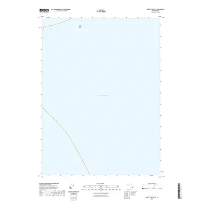
2021 Map of Great Point OE E
USGS Topo · Published 2021About this map
Little Round Shoal stands as the primary navigational landmark in this maritime survey of the open waters off the coast of Chatham. Located within the expansive Atlantic Ocean, the map focuses on the submerged topography and marine environment of the Massachusetts coastline. The lack of terrestrial features emphasizes the nautical focus of this quadrangle, where maritime hazards and shoals are the defining characteristics of the physical geography. It serves as a specific reference for the shifting sands and underwater features that have long influenced the Atlantic shipping lanes and local coastal history near Cape Cod.
Find a feature on this map
2 named features on this map. Tap any name to fly to it.
Don’t see what you’re looking for? This feature index may not catch every label — zoom into the map to look around manually.
Map Details
Editions of this 2021 Great Point OE E Map
This is the sole edition of this map. No revisions or reprints were ever made.
Other maps of this area

1887 · Yarmouth
USGS Topo · 1:62,500

1888 · Chatham
USGS Topo · 1:62,500

1889 · Yarmouth
USGS Topo · 1:62,500

1889 · Nantucket
USGS Topo · 1:62,500

1893 · Nantucket
USGS Topo · 1:62,500

1893 · Chatham
USGS Topo · 1:62,500

1893 · Yarmouth
USGS Topo · 1:62,500

1901 · Nantucket
USGS Topo · 1:62,500

1917 · Chatham
USGS Topo · 1:62,500

1942 · Cape Cod Bay
USGS Topo · 1:125,000