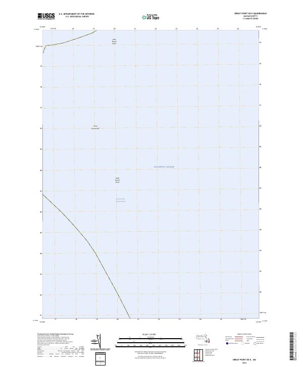
2024 Map of Great Point OE E
USGS Topo · Published 2024About this map
The Atlantic Ocean dominates this maritime survey off the coast of Nantucket, charting a treacherous stretch of seafloor known for shifting sands and nautical hazards. The chart focuses on the complex underwater topography where the Great Round Shoal Channel provides a vital passage through the surrounding banks. These features, including Great Round Shoal and the nearby Little Round Shoal, represent the submerged extensions of the outer Cape and island sands that have historically challenged navigators. The presence of Great Round Reef further highlights the navigational importance of this area, illustrating the submerged hazards that define the approaches to the region's busy shipping lanes and fishing grounds.
Find a feature on this map
8 named features on this map. Tap any name to fly to it.
Don’t see what you’re looking for? This feature index may not catch every label — zoom into the map to look around manually.
Map Details
Editions of this 2024 Great Point OE E Map
This is the sole edition of this map. No revisions or reprints were ever made.
Other maps of this area

1887 · Yarmouth
USGS Topo · 1:62,500

1888 · Chatham
USGS Topo · 1:62,500

1889 · Yarmouth
USGS Topo · 1:62,500

1889 · Nantucket
USGS Topo · 1:62,500

1893 · Nantucket
USGS Topo · 1:62,500

1893 · Chatham
USGS Topo · 1:62,500

1893 · Yarmouth
USGS Topo · 1:62,500

1901 · Nantucket
USGS Topo · 1:62,500

1917 · Chatham
USGS Topo · 1:62,500

1942 · Cape Cod Bay
USGS Topo · 1:125,000