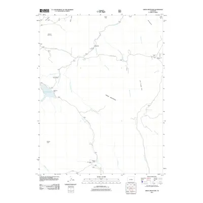
2011 Map of Green Mountain
USGS Topo · Published 2011About this map
Green Mountain rises as the central landmark in this Jefferson County landscape, surrounded by a complex network of drainages and peaks. The map details the hydrology of the region, where Buffalo Creek and its southern fork intersect near recreational points like the Green Mountain Picnic Ground and the Buffalo Creek Campground. Water management is evident at Wellington Lake, supported by the Wellington Dam.
Find a feature on this map
35 named features on this map. Tap any name to fly to it.
Don’t see what you’re looking for? This feature index may not catch every label — zoom into the map to look around manually.
Map Details
Editions of this 2011 Green Mountain Map
This is the sole edition of this map. No revisions or reprints were ever made.
Other maps of this area

1893 · Platte Canyon
USGS Topo · 1:125,000

1945 · Platte Canyon
USGS Topo · 1:24,000

1945 · Pine
USGS Topo · 1:24,000

1945 · Bailey
USGS Topo · 1:24,000

1948 · Pine
USGS Topo · 1:24,000

1948 · Platte Canyon
USGS Topo · 1:24,000

1949 · Bailey
USGS Topo · 1:24,000

1953 · Denver
USGS Topo · 1:250,000

1954 · Deckers
USGS Topo · 1:24,000

1954 · Green Mountain
USGS Topo · 1:24,000