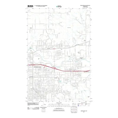
2011 Map of Greenacres
USGS Topo · Published 2011About this map
Spokane Valley sits at the heart of this landscape, where the Spokane River flows through a mix of residential expansion and heavy industrial infrastructure. The presence of the massive Kaiser Works facility near Trentwood illustrates the industrial heritage of the valley, while the Union Pacific RR tracks facilitate movement across the terrain. To the north, the elevation rises toward Antoine Peak, providing a natural boundary to the suburban grid below. Local heritage is preserved in several significant burial grounds, including Saint Josephs Cemetery, The Pines Cemetery, and Saltese Cemetery. The map also captures specialized land uses such as the Inland Empire Zoo and the Spalding Landing Area, reflecting a community balancing industry, recreation, and residential life. Small water features like Shelley Lake and the low-lying Saltese Flats near Saltese Creek offer a look at the natural drainage patterns that shaped early settlement in areas like Opportunity and Veradale.
Find a feature on this map
194 named features on this map. Tap any name to fly to it.
Don’t see what you’re looking for? This feature index may not catch every label — zoom into the map to look around manually.
Map Details
Editions of this 2011 Greenacres Map
This is the sole edition of this map. No revisions or reprints were ever made.
Other maps of this area

1901 · Spokane
USGS Topo · 1:125,000

1943 · Mt Spokane
USGS Topo · 1:62,500

1949 · Deer Park
USGS Topo · 1:62,500

1949 · Greenacres
USGS Topo · 1:62,500

1950 · Spokane NE
USGS Topo · 1:24,000

1950 · Spokane SE
USGS Topo · 1:24,000

1950 · Mt Spokane
USGS Topo · 1:62,500

1950 · Spokane
USGS Topo · 1:62,500

1951 · Deer Park
USGS Topo · 1:62,500

1951 · Greenacres
USGS Topo · 1:62,500