Loading...
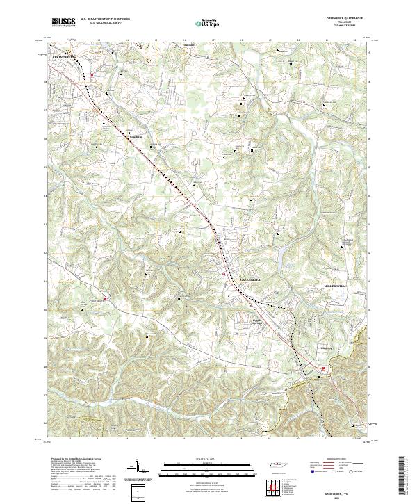
Loading map...2022 Map of Greenbrier
USGS Topo · Published 2022About this map
Greenbrier and the surrounding plateau of southern Robertson County are defined by a high concentration of small family burial grounds and historical community landmarks. The landscape is carved by numerous watercourses, including Wartrace Cr, Carr Cr, and the headwaters of the Sulphur Fork Red River. These streams have shaped the rolling terrain between Springfield and the southern Dividing Ridge, creating a series of hollows like Ben Hollow and Smiley Hollow.
Find a feature on this map
198 named features on this map. Tap any name to fly to it.
Don’t see what you’re looking for? This feature index may not catch every label — zoom into the map to look around manually.
Map Details
Date Portrayed2022
Date Published2022
PublisherU.S. Geological Survey
Map TypeTopographic
Scale1:24000
Physical Dimensions24 x 29 inches
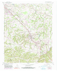
Editions of this 2022 Greenbrier Map
This is the sole edition of this map. No revisions or reprints were ever made.
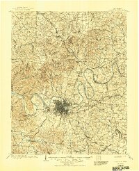
Historical Maps of Nashville Through Time
3 maps found
Featured Locations
Source Details
SourceU.S. Geological Survey
CopyrightPublic Domain