Loading...
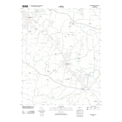
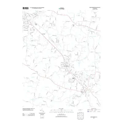
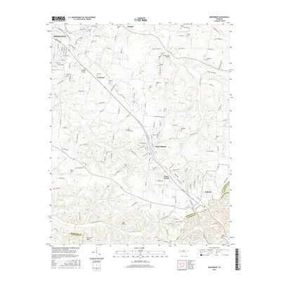
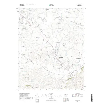
Loading map...1903 Map of Greenbrier
USGS Topo · Published 1945About this map
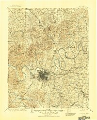
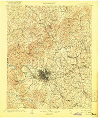
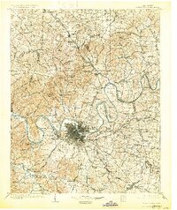
The Cumberland River carves a winding path through the heart of Middle Tennessee at the turn of the century, defining the growth of Nashville and its neighboring river bends. Civil engineering of the era is evident at Lock No. 1 and Lock No. 2, which managed the river's flow for navigation. The landscape transitions from the dense urban grid of the capital to the surrounding agricultural uplands and settlements like Goodlettsville and Hendersonville.
Find a feature on this map
120 named features on this map. Tap any name to fly to it.
Don’t see what you’re looking for? This feature index may not catch every label — zoom into the map to look around manually.
Map Details
Date Portrayed1903
Date Published1945
PublisherU.S. Geological Survey
Map TypeTopographic
Scale1:125,000
Physical Dimensions17.04 x 20.97 inches
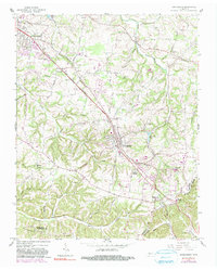
Editions of this 1903 Greenbrier Map
4 editions found

Historical Maps of Nashville Through Time
7 maps found
Featured Locations
Source Details
SourceU.S. Geological Survey
CopyrightPublic Domain