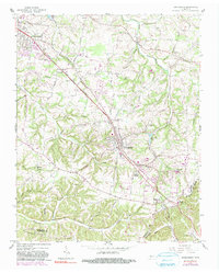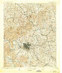
1903 Map of Greenbrier
USGS Topo · Published 1930About this map
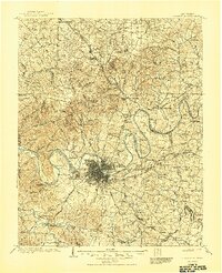
The Cumberland River carves a winding path through this region, its sharp meanders forming distinctive peninsulas like Bells Bend and Jones Bend just outside of Nashville. At the turn of the century, the river's navigational importance is marked by Lock No.1 and Lock No.2, while the surrounding landscape is defined by an extensive network of turnpikes including the Gallatin Pike and Charlotte Pike. To the north, the terrain rises toward Springfield and Greenbrier, where the Louisville and Nashville RR connects smaller ridge settlements.
Find a feature on this map
148 named features on this map. Tap any name to fly to it.
Don’t see what you’re looking for? This feature index may not catch every label — zoom into the map to look around manually.
Map Details
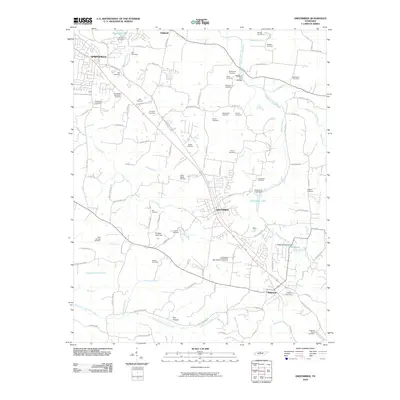
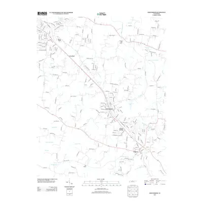
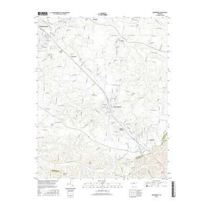
Editions of this 1903 Greenbrier Map
4 editions found

Historical Maps of Nashville Through Time
7 maps found