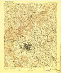
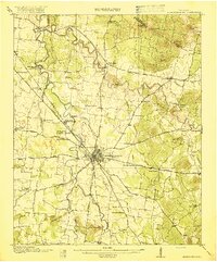
1903 Map of Nashville
USGS Topo · Published 1918About this map
The Cumberland River carves a dramatic series of oxbows through this turn-of-the-century landscape, defining the development of Middle Tennessee at a time when river navigation and rail transport were inextricably linked. The city is flanked by pronounced river loops like Bells Bend, Cockrill Bend, and Neely Bend, with Lock No. 1 marking the early infrastructure used to manage the waterway for commerce. Beyond the urban core, the map captures significant cultural landmarks including The Hermitage and Old Hickory to the east.
Find a feature on this map
142 named features on this map. Tap any name to fly to it.
Don’t see what you’re looking for? This feature index may not catch every label — zoom into the map to look around manually.
Map Details
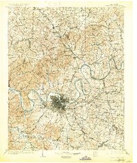
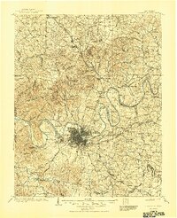
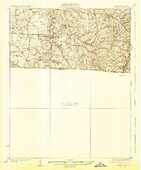
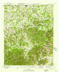
Editions of this 1903 Nashville Map
4 editions found
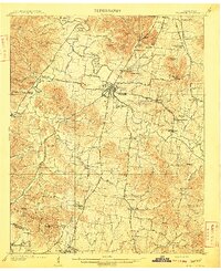
Other maps of this area

1901 · Colombia
USGS Topo · 1:125,000

1903 · Nashville
USGS Topo · 1:125,000
1909 · Franklin
USGS Topo · 1:62,500
1916 · Murfreesboro
USGS Topo · 1:62,500

1930 · White Bluff
USGS Topo · 1:62,500
1931 · Adolphus
USGS Topo · 1:62,500
1931 · Ridgetop
USGS Topo · 1:62,500

1932 · Hermitage
USGS Topo · 1:62,500

1932 · Nashville
USGS Topo · 1:62,500

1933 · White Bluff
USGS Topo · 1:62,500