2022 Map of Greendale
USGS Topo · Published 2022About this map
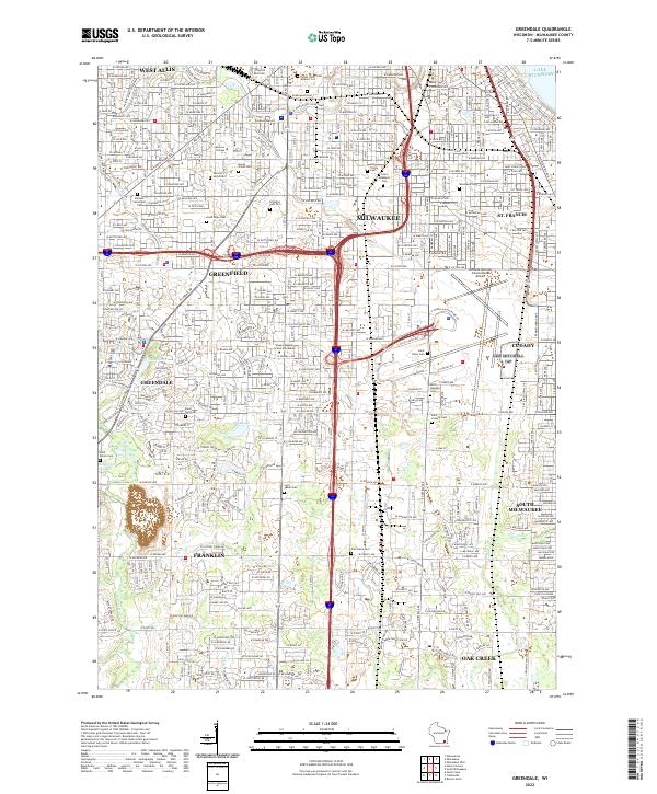
The urban landscape of southern Milwaukee County is defined by a dense grid of residential streets and industrial corridors during the early 2020s. Centered on Greendale and Greenfield, the map reveals a complex network of infrastructure dominated by the General Mitchell International Airport to the east and the Chicago and North Western rail lines. The area is a mosaic of mid-century suburban expansion and established community institutions, including Alverno College and the Empire Beauty School Milwaukee. Numerous religious and memorial sites are distributed throughout the terrain, from Mount Olivet Cem and Saint Adalberts Cem in the north to the smaller Saint Peters Cem and Saint James Cem further south. Natural drainage patterns remain visible through the corridor of the Root River and the small waters of Scout Lake and Mud Lake, providing a biological counterpoint to the paved expanses of West Allis and Cudahy.
Find a feature on this map
131 named features on this map. Tap any name to fly to it.
Don’t see what you’re looking for? This feature index may not catch every label — zoom into the map to look around manually.
Map Details
Editions of this 2022 Greendale Map
This is the sole edition of this map. No revisions or reprints were ever made.