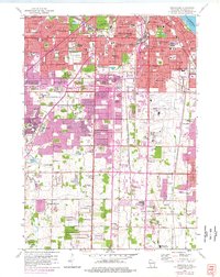
1958 Map of Greendale
USGS Topo · Published 1977About this map
The urban expansion of Milwaukee and West Allis pushes southward into the sprawling township of Greenfield and the planned community of Greendale. This mid-century survey captures a landscape in transition, where established neighborhoods meet the developing corridors of the Airport Freeway. The industrial and transport importance of the region is anchored by the sprawling grounds of General Mitchell Field and the parallel routes of the Chicago and North Western and Chicago Milwaukee St Paul and Pacific railroads.
Find a feature on this map
116 named features on this map. Tap any name to fly to it.
Don’t see what you’re looking for? This feature index may not catch every label — zoom into the map to look around manually.
Map Details
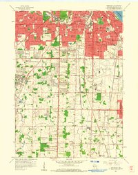
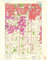
Editions of this 1958 Greendale Map
3 editions found
Other maps of this area

1891 · Bayview
USGS Topo · 1:62,500

1891 · Muskego
USGS Topo · 1:62,500

1892 · Milwaukee
USGS Topo · 1:62,500

1892 · Waukesha
USGS Topo · 1:62,500

1901 · Milwaukee
USGS Topo · 1:62,500

1901 · Waukesha
USGS Topo · 1:62,500

1901 · Bayview
USGS Topo · 1:62,500

1901 · Muskego
USGS Topo · 1:62,500

1906 · Waukesha
USGS Topo · 1:62,500

1906 · Milwaukee
USGS Topo · 1:62,500