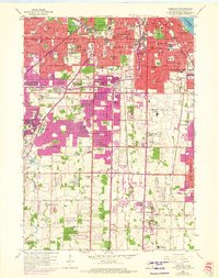
1958 Map of Greendale
USGS Topo · Published 1972About this map
The sprawling southern suburbs of Milwaukee transition from dense urban grids to developing rural fringes in this mid-century portrait. Massive burial grounds like St Adalberts Cemetery and Mount Olivet Cemetery occupy significant tracts, while aviation takes center stage at General Mitchell Field. The landscape reflects a postwar boom, where traditional institutions like Alverno College and numerous parochial schools, including St Marys Sch and St Helens Sch, stand alongside new leisure symbols like the Tuckaway Country Club and a Drive-in Theater. To the south, the terrain opens into the agricultural reaches of Franklin and Oak Creek, dotted with family-named gravel pits and landmarks like the Boy Scout Camp and the County House of Correction near the Root River.
Find a feature on this map
112 named features on this map. Tap any name to fly to it.
Don’t see what you’re looking for? This feature index may not catch every label — zoom into the map to look around manually.
Map Details
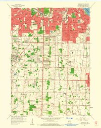
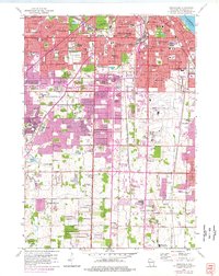
Editions of this 1958 Greendale Map
3 editions found
Other maps of this area

1891 · Bayview
USGS Topo · 1:62,500

1891 · Muskego
USGS Topo · 1:62,500

1892 · Milwaukee
USGS Topo · 1:62,500

1892 · Waukesha
USGS Topo · 1:62,500

1901 · Milwaukee
USGS Topo · 1:62,500

1901 · Waukesha
USGS Topo · 1:62,500

1901 · Bayview
USGS Topo · 1:62,500

1901 · Muskego
USGS Topo · 1:62,500

1906 · Waukesha
USGS Topo · 1:62,500

1906 · Milwaukee
USGS Topo · 1:62,500