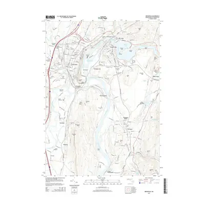
2015 Map of Greenfield
USGS Topo · Published 2015About this map
The confluence of the Connecticut River and Deerfield River defines this Franklin County landscape, where industrial heritage meets the ridgelines of the Pocumtuck Range. In Greenfield, the street grid extends toward the Green River, while across the water, Turners Falls is shaped by the curve of the Montague Power Canal Reservoir and the presence of Peskeomskut Island. The map reveals a dense network of early settlements and river crossings, including Montague City, Cheapside, and Riverside. Significant local landmarks like the Pumping Station Covered Bridge and Poets Seat overlook the valleys, while the Mohawk Trail snakes through the northern hills. For genealogists, the area is rich with burial sites, from the large Green River Cem to the smaller Old Albany Cem and the Aaron Clark Memorial Cem near Montague. Further south, the terrain opens into the South Meadows and Deerfield Meadows, where the historical footprint of Deerfield remains centered near the Pocumtuck Rock overlook.
Find a feature on this map
94 named features on this map. Tap any name to fly to it.
Don’t see what you’re looking for? This feature index may not catch every label — zoom into the map to look around manually.
Map Details
Editions of this 2015 Greenfield Map
This is the sole edition of this map. No revisions or reprints were ever made.
Other maps of this area

1885 · Northampton
USGS Topo · 1:62,500

1886 · Northampton
USGS Topo · 1:62,500

1887 · Warwick
USGS Topo · 1:62,500

1887 · Belchertown
USGS Topo · 1:62,500

1889 · Warwick
USGS Topo · 1:62,500

1890 · Belchertown
USGS Topo · 1:62,500

1890 · Greenfield
USGS Topo · 1:62,500

1891 · Northampton
USGS Topo · 1:62,500

1893 · Northampton
USGS Topo · 1:62,500

1893 · Belchertown
USGS Topo · 1:62,500