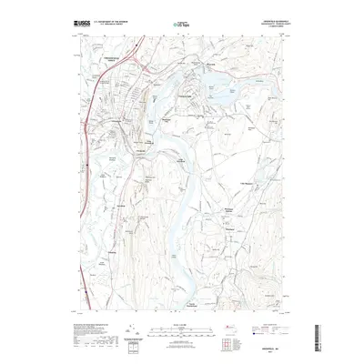
2021 Map of Greenfield
USGS Topo · Published 2021About this map
The Connecticut River and Deerfield River converge in this Franklin County landscape, shaping a corridor of industry, transport, and settlement. The high-density center of Greenfield stands west of the river, anchored by the Franklin County Court House, while the industrial character of Turners Falls is defined by its canal and proximity to Barton Cove. This era shows the continued importance of the Pan Am Southern railroad lines which thread through the valleys, connecting riverside communities like Montague City and Cheapside.
Find a feature on this map
185 named features on this map. Tap any name to fly to it.
Don’t see what you’re looking for? This feature index may not catch every label — zoom into the map to look around manually.
Map Details
Editions of this 2021 Greenfield Map
This is the sole edition of this map. No revisions or reprints were ever made.
Other maps of this area

1885 · Northampton
USGS Topo · 1:62,500

1886 · Northampton
USGS Topo · 1:62,500

1887 · Warwick
USGS Topo · 1:62,500

1887 · Belchertown
USGS Topo · 1:62,500

1889 · Warwick
USGS Topo · 1:62,500

1890 · Belchertown
USGS Topo · 1:62,500

1890 · Greenfield
USGS Topo · 1:62,500

1891 · Northampton
USGS Topo · 1:62,500

1893 · Northampton
USGS Topo · 1:62,500

1893 · Belchertown
USGS Topo · 1:62,500