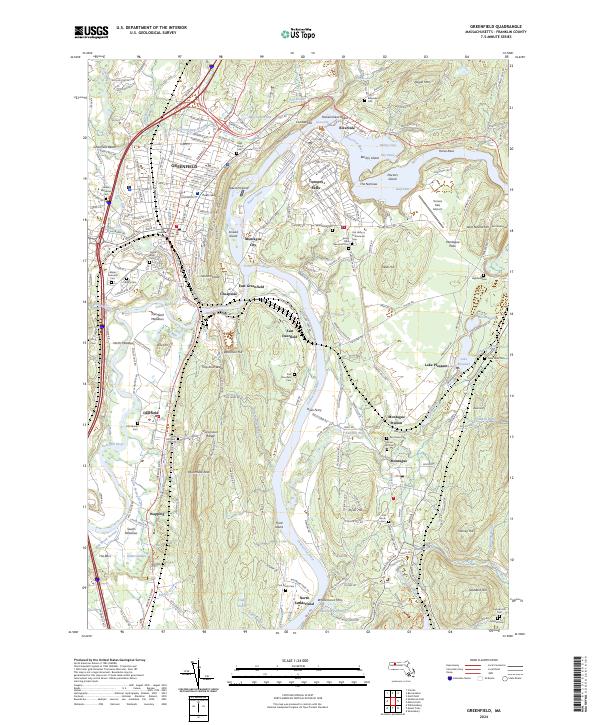
2024 Map of Greenfield
USGS Topo · Published 2024About this map
The confluence of the Connecticut River and Deerfield River forms the geographic anchor for this region of Franklin County. The industrial legacy of Turners Falls is evident in the complex waterway system of the Power Canal and the nearby Turners Falls Airport. Across the water, the town of Greenfield serves as a central hub, housing the Franklin County Court House and a high density of civic spaces.
Find a feature on this map
94 named features on this map. Tap any name to fly to it.
Don’t see what you’re looking for? This feature index may not catch every label — zoom into the map to look around manually.
Map Details
Editions of this 2024 Greenfield Map
This is the sole edition of this map. No revisions or reprints were ever made.
Other maps of this area

1885 · Northampton
USGS Topo · 1:62,500

1886 · Northampton
USGS Topo · 1:62,500

1887 · Warwick
USGS Topo · 1:62,500

1887 · Belchertown
USGS Topo · 1:62,500

1889 · Warwick
USGS Topo · 1:62,500

1890 · Belchertown
USGS Topo · 1:62,500

1890 · Greenfield
USGS Topo · 1:62,500

1891 · Northampton
USGS Topo · 1:62,500

1893 · Northampton
USGS Topo · 1:62,500

1893 · Belchertown
USGS Topo · 1:62,500